Trimble GPS with ESRI Field Map Technology Our team members have utilized Trimble GPS technology for 25+ years. We have partnered many organizations to complete large-scale GPS collection projects (city & county wide). These initiatives included sub-cm data collection for water, storm and sewer utility locations with corresponding general or full NASSCO MACP inspections. GPS […]
Geographic Approach Services Our team strives to integrate enterprise GIS technology throughout the entire organization. By leveraging the geographic approach, we can assist to transform and align your business operations. Our project management services specialize with planning, coordinating, and executing projects according to your specific requirements and constraints. Why Ritter GIS Our certified team is […]
ESRI ArcGIS Enterprise & ArcGIS Online Services ArcGIS® Enterprise is the complete software system for all your geospatial needs—make maps, analyze geospatial data, and share results to solve problems. Our Release-Ready team is ready to assist with a full-suite setup or existing system support. Build your foundation and extend with ArcGIS apps, maps and ArcGIS […]
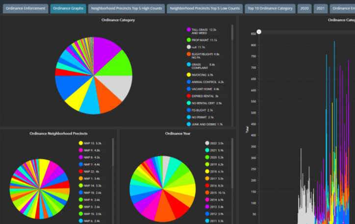
ESRI Solution Driven Applications We specialize in transitioning your static maps and local data to cloud-based interactive applications. We leverage capabilities in ArcGIS Online and ArcGIS Enterprise to deploy solutions with Web App Builder, Experience Builder, and Story Maps. Datasets are securely published and utilized within a full suite of data analytic tools such as […]
Enterprise GIS Data Development Services Increase the accuracy and capabilities for your geospatial maps and applications. Our team specializes in large-scale data development/analysis tasks including geo-referencing, site plan utility updates, GPS collection, AutoCAD integration, Next Gen 911, Parcel Development with coordinate geometry, data migration, Assessing State Reviews, and many others. Why Ritter GIS Our certified […]


