Park Response Planning | Northville Township, MI
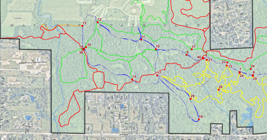
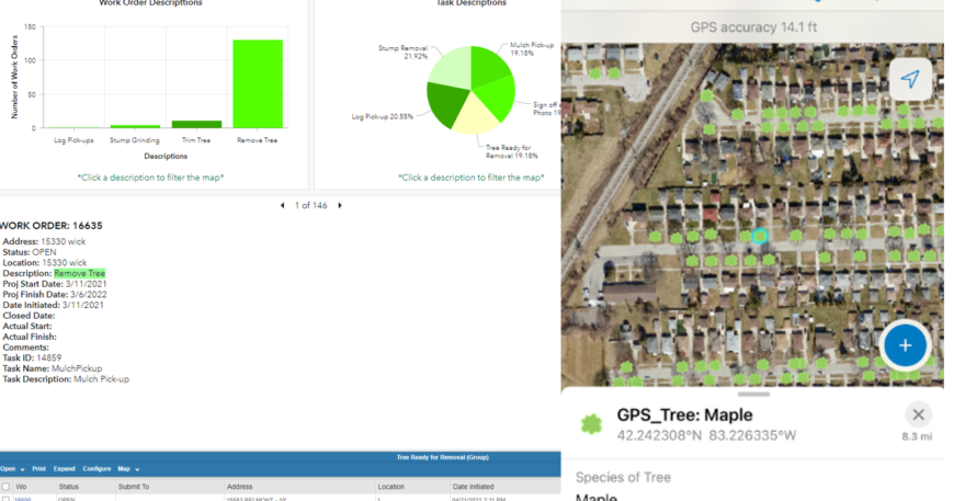
Northville Township (MI) collects accurate GPS locations for newly installed emergency sign locations. ESRI GIS is utilized to manage locations throughout the vast 1,000+ acre Maybury Park and comprehensive trail system.


